

Climate change is reshaping the landscape of agricultural production in Bangladesh, with extreme weather events increasingly threatening food security, rural livelihoods, and economic stability. Among the country’s most vulnerable ecosystems, the haor region has repeatedly demonstrated how climate-induced disasters can rapidly undermine agricultural production, particularly during the critical boro harvesting season. As these risks continue to intensify, generating timely, accurate, and policy-relevant evidence has become indispensable for designing effective disaster response, supporting affected farmers, and strengthening long-term agricultural resilience.
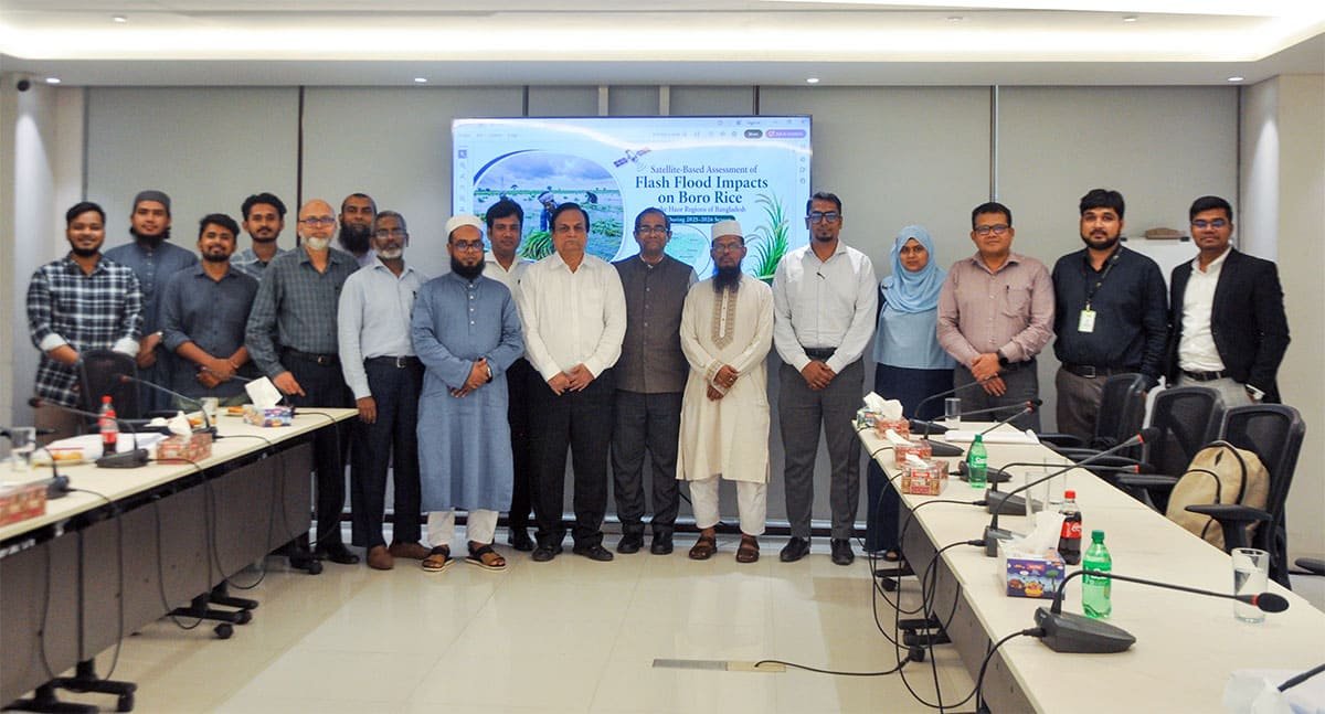
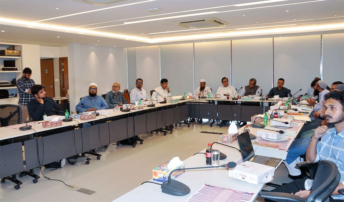
Against this backdrop, the Centre for Policy Dialogue (CPD) organised a lunch discussion titled Strengthening Evidence-Based Policy Research through Institutional Collaboration with Bangladesh Rice Research Institute (BRRI) on 26 July 2026 at the CPD Dialogue Room in Dhaka. The discussion brought together researchers, scientists, policymakers, and representatives from government agencies, academia, and development organisations to exchange evidence on the 2026 haor flash flood and to explore how stronger institutional collaboration can improve agricultural policy research in Bangladesh.
The programme commenced with welcome remarks by Dr Khondaker Golam Moazzem, Research Director of CPD, followed by guest introductions and introductory remarks from Dr Md. Ismail Hossain, Chief Scientific Officer and Head of the Agricultural Statistics Division at BRRI. Setting the context for the discussion, Dr Ismail highlighted the importance of strengthening collaboration between research institutions to generate evidence capable of informing timely policy responses to emerging agricultural challenges.
The dialogue was rooted in a shared experience following the devastating flash floods that affected Bangladesh’s haor region between late April and mid-May 2026. Soon after the floods, CPD conducted a rapid assessment of boro rice losses using secondary data from DAE, FFWC, BMD, and National Dailies for estimating production and economic losses. One of the central recommendations of the assessment was to strengthen official post-disaster damage estimation through a hybrid methodology combining live satellite imagery using Sentinel 2 SAR, administrative data, hydrological information, and community-level observations.
BRRI subsequently carried out an independent live Sentinel 1 and 2 satellite-based assessment of the same flood event. Although undertaken separately, the findings of the two institutions converged closely, while BRRI’s technical analysis provided additional insights into inclusion and exclusion errors that remain absent through secondary approaches. The convergence of findings highlighted the complementary strengths of the two institutions: CPD’s ability to produce rapid, policy-oriented analysis and BRRI’s expertise in agricultural science, remote sensing, and geospatial technologies. This experience ultimately inspired the joint discussion as an opportunity to compare methodologies, share lessons, and explore future collaboration beyond flood-related crop loss assessments.
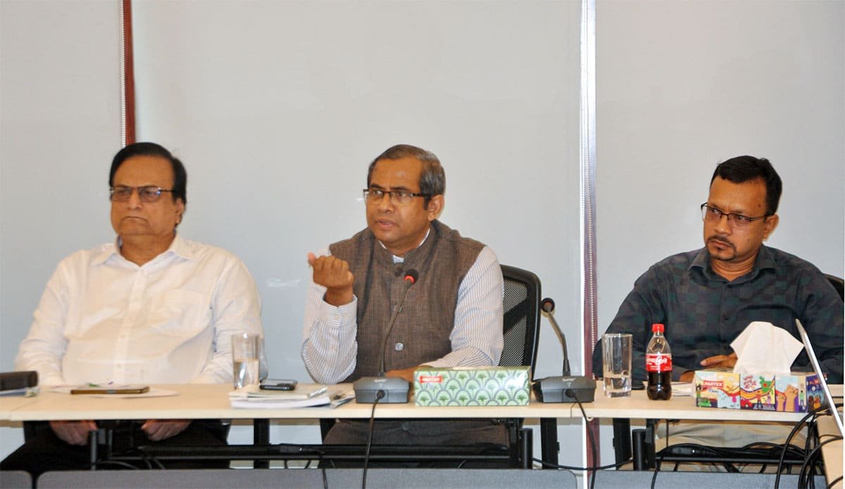
Mr. Abu Saleh Md. Shamim Alam Shibly, Research Fellow, CPD, presented CPD’s assessment of the 2026 haor flood and its implications for agricultural policy. The assessment outlined an analytical framework covering seven haor districts, introducing a hydrological tier-based methodology that classified cultivated land according to flood vulnerability. Rather than relying solely on reported crop damage, the framework integrated multiple dimensions, including harvest progress, standing crop estimation, rescue harvesting capacity, flood damage estimation, and production and economic loss calculations both at the farmers’ and at the macro level. By considering differences in harvesting schedules across upper, middle, and lower basin areas, as well as the practical limitations of emergency harvesting under severe weather conditions, the analysis sought to provide a more realistic estimate of flood-induced crop losses.
The findings revealed that approximately 2.18 lakh hectares of haor cropland remained unharvested before floodwater reached its peak, while emergency harvesting capacity within the available five-day rescue window was limited to approximately 31,586 hectares. Finally, the study concluded that 1.22 lakh hectares of land were submerged due to the flood. Based on this analysis, CPD estimated minimum total losses of 3.39 lakh metric tonnes of rice, considerably higher than the revised official estimate. Although the estimated national impact on total boro production remained relatively modest, the presentation emphasised that the socio-economic consequences for affected farming households were severe, particularly among smallholders, marginal farmers, and sharecroppers whose livelihoods depend almost entirely on a single boro harvest.
Beyond production estimates, the presentation highlighted the financial vulnerability of farming households. Farmers faced mounting production costs, declining farmgate prices, existing debt burdens, and limited compensation following the disaster. According to the analysis, government compensation covered only a fraction of estimated household production losses, with the risks of inclusion and exclusion errors, emphasizing the need for more responsive support mechanisms following climate-induced disasters.
To address these challenges, CPD proposed a range of policy recommendations aimed at improving both immediate disaster response and longer-term resilience. These included introducing a hybrid protocol for rapid crop-loss assessment using satellite imagery within 72 hours of flooding, increasing compensation for affected farmers, providing targeted input support for subsequent cultivation seasons, strengthening agricultural financing mechanisms, establishing a dedicated Haor Agricultural Resilience Fund, improving the deployment of harvesting machinery before flood seasons, and enhancing market monitoring alongside emergency food distribution systems.
Dr ABM Zahid Hossain, Senior Scientific Officer, Irrigation and Water Management Division and Coordinator of the Agromet Lab, BRRI, together with Dr Niaz Md. Farhat Rahman, Principal Scientific Officer, Agricultural Statistics Division and Member of the Agromet Lab, BRRI. Their presentation focused on satellite-based assessment of the 2026 haor flood and revealed how remote sensing technologies can strengthen evidence generation for agricultural policymaking.
The BRRI team explained how Sentinel-1 and 2 Synthetic Aperture Radar (SAR) imagery was used to compare pre-flood and flood-period conditions across the haor region. Satellite observations were integrated with meteorological information from the Bangladesh Meteorological Department (BMD) and hydrological data from the Bangladesh Water Development Board (BWDB) to assess flood progression and estimate crop damage with greater spatial precision.
The analysis suggested that the 2026 disaster resulted from the combined effects of intense local rainfall over the haor basin, sustained upstream inflows, and a second flood pulse that arrived before earlier floodwaters had receded. By comparing rainfall and river conditions between 2025 and 2026, the study illustrated how the timing and concentration of rainfall during the critical pre-harvest period significantly intensified crop damage during 2026.
Dr Niaz also presented satellite-derived estimates of crop damage and production losses, comparing these with official damage estimates. The analysis showed that satellite change detection, together with CPD’s harvest-timing analysis, consistently suggested higher levels of rice loss, including types of rice, than official estimates, indicating that conventional assessment approaches may systematically underestimate disaster impacts. The presentation illustrated how remote sensing technologies can produce objective, timely, and spatially explicit information that strengthens rapid damage assessment immediately after extreme weather events.
Building on these findings, Dr Niaz presented a comprehensive package of policy recommendations covering both pre-disaster preparedness and post-disaster recovery. These recommendations focused on improving rapid damage assessment systems, institutionalising satellite-based monitoring, strengthening farmer support programmes, improving inter-agency coordination, and enhancing recovery planning through better use of scientific evidence and geospatial technologies.
The technical presentations were followed by an open-floor discussion and reflections from experts representing a wide range of institutions. Panel remarks were delivered by Dr Md. Mahbubul Alam, Principal Scientific Officer and Head of the Irrigation and Water Management Division, BRRI; Dr Mohammad Chhiddikur Rahman, Senior Scientific Officer, Agricultural Economics Division, BRRI; Dr Md. Bazlur Rashid, Meteorologist at the Bangladesh Meteorological Department (BMD); Dr Md. Habibur Rahman, Deputy Director of the Department of Agricultural Extension (DAE); Mr Md. Manzur Rahman, Executive Engineer of the Bangladesh Water Development Board (BWDB); Dr Ripon Kumar Mondal, Professor of Agricultural Economics at Sher-e-Bangla Agricultural University; and Md Sadat Anowar, Research Analyst II at the International Food Policy Research Institute (IFPRI). The session also featured special remarks by Professor Dr Jahangir Alam Khan, Former President of the Bangladesh Agricultural Economists’ Association and Director of the Dhaka School of Economics.
While the discussion reflected diverse institutional perspectives, a common message emerged from the assessments, addressing increasingly complex agricultural challenges requires stronger collaboration among policy researchers, scientific institutions, government agencies, academia, and development partners. The programme itself demonstrated how different forms of expertise- policy analysis, remote sensing, meteorology, hydrology, agricultural economics, and field-level implementation can collectively generate more comprehensive evidence for public policymaking.
The event concluded with closing remarks by Dr Khondaker Golam Moazzem, who reaffirmed CPD’s commitment to strengthening evidence-based public policy through interdisciplinary collaboration and institutional partnerships.
As Bangladesh continues to confront the growing challenges posed by climate variability, food security, and rural vulnerability, partnerships that bridge research, science, and policy will become ever more important. The knowledge exchange between CPD and BRRI offers a compelling example of how independent policy research and scientific inquiry can reinforce one another. While CPD contributes rapid policy analysis capable of informing immediate decision-making, BRRI provides technical depth through advanced agricultural research, geospatial analysis, and remote sensing applications.